Ran Goldblatt

Ran Goldblatt
Designation: Geographic Information System (GIS) and Remote Sensing expert
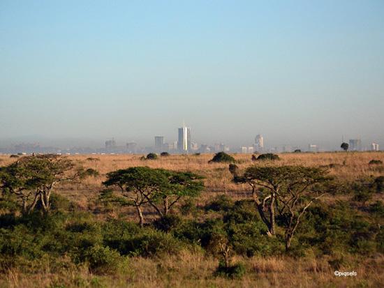
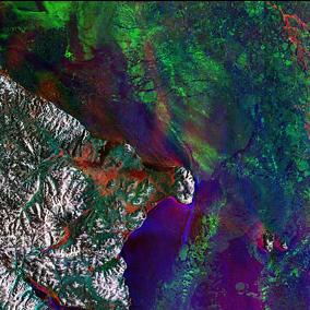
Dr. Ran Goldblatt is a Geographic Information System (GIS) and Remote Sensing expert with 20+ years of experience in complex geospatial data fusion, analysis and modelling, including development of methodologies and tools for monitoring features of the urban environment and their relation to socio-economic properties of the urban population and urbanicity. He has developed innovative machine learning methodologies and approaches for mapping land cover and land use. He supports organizations such as the World Bank and FEMA in utilizing big data to monitor socio-economic dynamics in the US and in developing countries. He has also initiated, together with the UC Berkeley, the Geo4Dev Initiative, a hub for geospatial data and tools for measurements of developing countries.

Blogs by author

Applications of nighttime light data in international development research

The increasing availability of remotely-sensed measurements of nighttime light intensity across space and time opens the door to new possibilities to understand how the Earth is changing. These insights can improve decision-making to guide policy, deliver services, and improve governance in near real-time. However, accelerated human modifications of the landscape and human activities are profoundly affecting the processes on the Earth's surface, both locally and globally, creating a variety of challenges for scientists and policymakers in understanding global change and its repercussions.

Mapping the impact of urbanization on vegetation in Nairobi, the 'green city in the sun’

In August 2021, 3ie and New Light Technologies co-led a series of capacity-building workshops with 10 researchers from the African Population and Health Research Center (APHRC) on the potential to use remotely-sensed geospatial data for impact evaluation. This blog is the third in a series of four in which workshop participants reflect on the uses of remotely-sensed and geospatial data.

Geospatial data for measuring vegetation impact on agricultural productivity

In August 2021, 3ie and New Light Technologies co-led a series of capacity-building workshops with 10 researchers from the African Population and Health Research Center (APHRC) on the potential to use remotely-sensed geospatial data for impact evaluations. This blog is the second in a series of four in which workshop participants reflect on the uses of remotely-sensed and geospatial data.

Machine learning and remote sensing: New evaluation tools, especially to measure land-use

In August 2021, 3ie and New Light Technologies co-led a series of capacity-building workshops with 10 researchers from the African Population and Health Research Center on the potential to use remotely-sensed geospatial data for impact evaluations. This blog is the first in a series of four in which workshop participants reflect on the uses of remotely-sensed and geospatial data.

Despite the hype, do not expect big data to replace traditional surveys anytime soon

The COVID-19 pandemic has created new hype around the potential for new, ‘big’, data sources to revolutionize data collection, and change the landscape of evidence for policy. Non-traditional data sources - like satellite imagery, call detail records, and social media posts—do offer exciting opportunities to track and understand processes on Earth across space and time like never possible before.